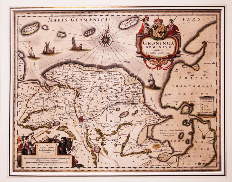
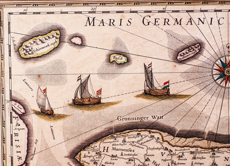
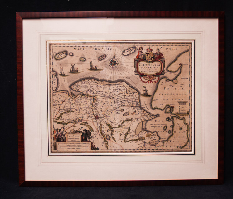
An original map from 1645 with the province of Groningen by Willem Blaeuw.
Ref.:
21009
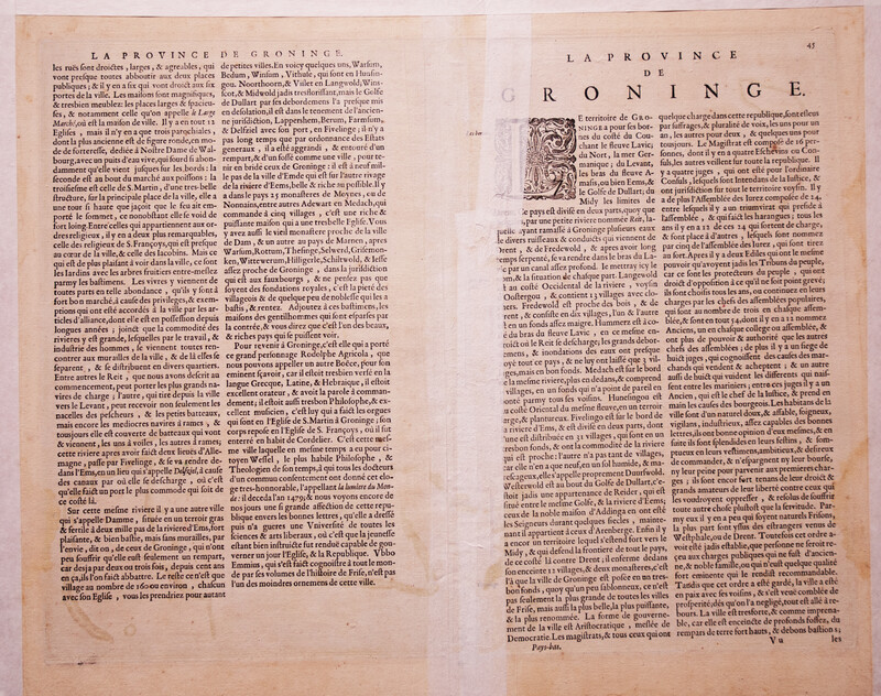
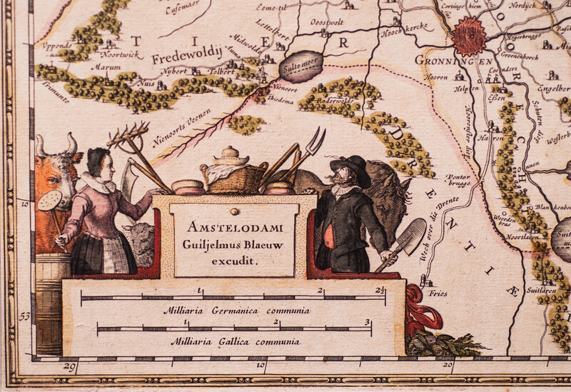
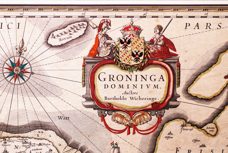
A mahogany framed map of the province of Groningen. Measures of the map: 49 x 38,5 cm. Measures of the frame: 72 x 61 cm. This map was drawn by Barthold Wicheringe and subsequently printed by Willem Blaeuw around 1645. The map has the original 17th C. colours and is in excellent condition. It shows not only the land but also part of the "Waddensea ". It is elaborately decorated with sailing vessels. On the reverse the text in French referring to this province.